Dave Turley’s First Alert Weather forecast for Wednesday, December 17, 2025
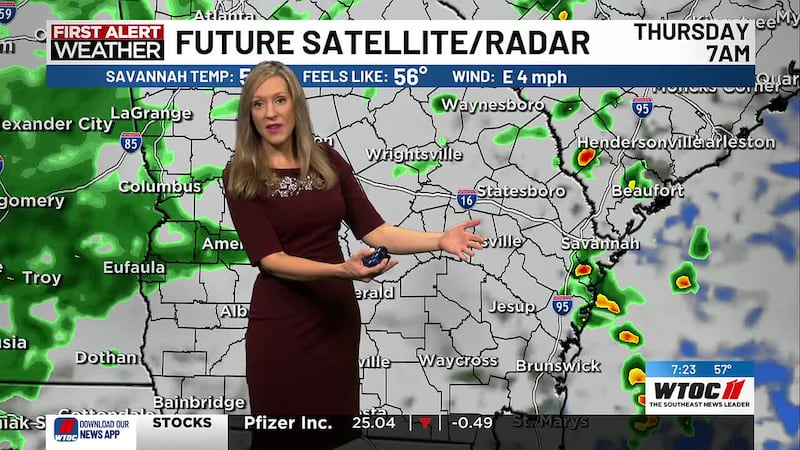
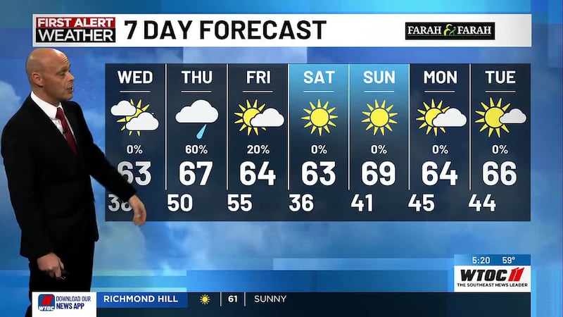
High pressure continues today with lots of clouds and milder temps. Our average high is 64. A warm front lifts through Thursday followed by a cold front early Friday. Next rain chance will be Thursday morning along the coast and then area wide late evening through around daybreak Friday. More 30s Saturday morning then a nice warm up Sunday with highs in the 70s. Winter begins Sunday at 10:03am. Another cold front moves through Sunday night with very little moisture. Temps fall back into the 60s Monday and Tuesday with just a few clouds but we’re back in the 70s Wednesday.
Today will be mostly cloudy, highs in the mid 60s.
Tonight will be mostly cloudy with a 40% chance for showers after midnight, lows near 50.
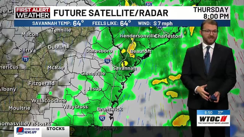
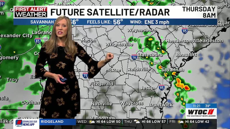
Thursday will be mostly cloudy with a 60% chance for showers and storms, highs inn the upper 60s.
Thursday night will be mostly cloudy with a 60% chance for showers, lows in the upper 50s.
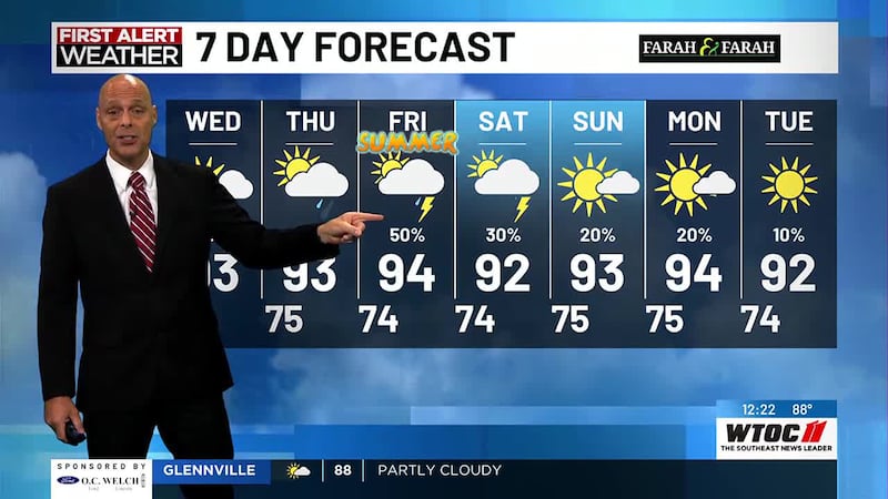
Friday will be mostly cloudy with a 20% chance for showers through daybreak then partly cloudy, highs in the mid 60s.
Friday night will mostly clear, lows in the mid 30s.
Saturday will be sunny, highs in the mid 60s.
Saturday night will be mostly clear, lows near 40.
Sunday will be partly cloudy, highs near 70.
Sunday night will be mostly clear, lows in the mid 40s.
Monday will be partly cloudy, highs in the low 60s.
Monday night will be partly cloudy, lows in the mid 40s.
Tuesday will partly cloudy, highs in the mid 60s.
Tuesday night will be mostly clear, lows in the mid 40s.
Coastal Waters Forecast: Today: NE winds at 5-10 kt. Seas: 2-3 ft. Tonight: NE winds at 5-10 kt. Seas: 2-3 ft.
Copyright 2025 WTOC. All rights reserved.