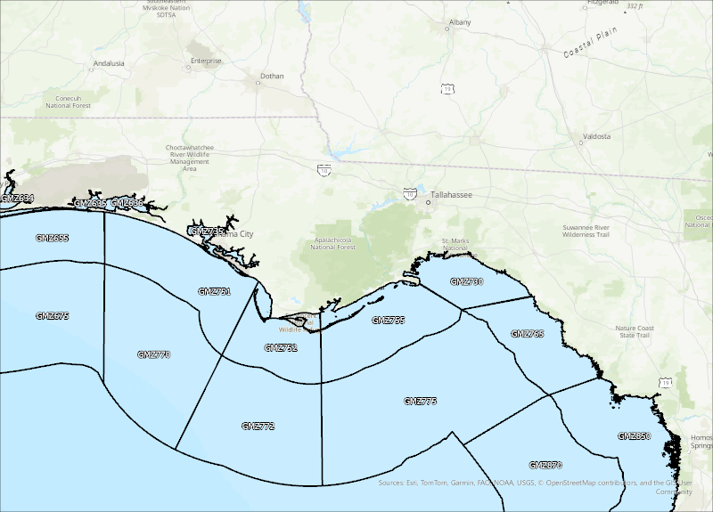
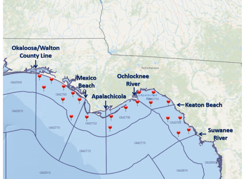
For a graphical forecast, visit weather.gov/beach/tae or see the county based surf zone forecast below:
Detailed Surf Zone Forecast
600
FZUS52 KTAE 031648
SRFTAE
Surf Zone Forecast
National Weather Service Tallahassee FL
1148 AM EST Tue Feb 3 2026
.THE SURF ZONE FORECAST GENERAL OUTLOOK...
A moderate rip current risk for all of the Gulf beaches today. On
Wednesday, brisk southwest winds will increase the risk of rip
currents to high for most beaches.
Based on communication with area beach officials, the following flags
are flying at area beaches:
Walton........................Yellow
Bay...........................Yellow
State Park Gulf Beaches.......Yellow
West Facing Gulf Beaches......Not Available
South Facing Gulf Beaches.....Not Available
Franklin......................Yellow
FLZ108-032115-
South Walton-
Including the beaches of Sandestin, Santa Rosa Beach,
and Turquoise Beach
1048 AM CST Tue Feb 3 2026
.REST OF TODAY...
Rip Current Risk............Moderate.
Surf Height.................Around 1 foot.
UV Index**..................Moderate.
Water Temperature...........52 degrees.
Weather.....................Sunny.
High Temperature............In the mid 60s.
Winds.......................South winds 10 to 15 mph.
Tides...
None.
Sunrise.....................7:35 AM.
Sunset......................6:21 PM.
.WEDNESDAY...
Rip Current Risk............High.
Surf Height.................Around 2 feet.
Weather.....................Partly sunny. Showers and a slight
chance of thunderstorms.
High Temperature............In the mid 60s.
Winds.......................Southwest winds around 15 mph, becoming
northwest in the afternoon.
Tides...
Panama City..............Low at 07:52 AM CST.
Sunrise.....................7:35 AM.
Sunset......................6:22 PM.
.THURSDAY...Moderate rip current risk*. Surf height around 1 foot.
Sunny, cooler. Highs in the lower 50s. Northwest winds around 20 mph.
.FRIDAY...Moderate rip current risk*. Sunny. Highs around 60. West
winds around 15 mph.
.SATURDAY...Moderate rip current risk*. Sunny. Highs in the lower
60s. Northwest winds around 10 mph.
&&
Rip Current Risk Category
* Low Risk - The risk for rip currents is low, however,
life-threatening rip currents often occur in the vicinity of groins,
jetties, reefs, and piers.
* Moderate Risk - Life-threatening rip currents are possible in the
surf zone.
* High Risk - Life-threatening rip currents are likely in the surf
zone.
** For lightning, waterspout, and UV definitions see:
https://www.weather.gov/beach/tae
$$
FLZ112-032115-
Coastal Bay-
Including the beaches of Panama City Beach and Magnolia Beach
1048 AM CST Tue Feb 3 2026
.REST OF TODAY...
Rip Current Risk............Moderate.
Surf Height.................Around 2 feet.
UV Index**..................Moderate.
Water Temperature...........56 degrees.
Weather.....................Sunny.
High Temperature............In the mid 60s.
Winds.......................Southeast winds 10 to 15 mph.
Tides...
None.
Sunrise.....................7:33 AM.
Sunset......................6:20 PM.
.WEDNESDAY...
Rip Current Risk............High.
Surf Height.................Around 4 feet.
Weather.....................Mostly cloudy. Showers and a slight
chance of thunderstorms.
High Temperature............In the mid 60s.
Winds.......................Southwest winds around 20 mph.
Tides...
Panama City..............Low at 07:52 AM CST.
Sunrise.....................7:32 AM.
Sunset......................6:21 PM.
.THURSDAY...Moderate rip current risk*. Surf height around 2 feet.
Sunny, cooler. Highs in the lower 50s. Northwest winds around 20 mph.
.FRIDAY...High rip current risk*. Sunny. Highs around 60. West winds
around 20 mph.
.SATURDAY...Moderate rip current risk*. Sunny. Highs in the lower
60s. Northwest winds around 10 mph.
&&
Rip Current Risk Category
* Low Risk - The risk for rip currents is low, however,
life-threatening rip currents often occur in the vicinity of groins,
jetties, reefs, and piers.
* Moderate Risk - Life-threatening rip currents are possible in the
surf zone.
* High Risk - Life-threatening rip currents are likely in the surf
zone.
** For lightning, waterspout, and UV definitions see:
https://www.weather.gov/beach/tae
$$
FLZ114-032115-
Coastal Gulf-
Including the beaches of Saint Joe Beach
1148 AM EST Tue Feb 3 2026 /1048 AM CST Tue Feb 3 2026/
.REST OF TODAY...
Rip Current Risk...
W Facing Beaches.........Moderate.
S Facing Beaches.........Moderate.
State Park Beaches.......Moderate.
Surf Height...
W Facing Beaches.........Around 1 foot.
S Facing Beaches.........Around 1 foot.
State Park Beaches.......Around 1 foot.
UV Index**..................Moderate.
Water Temperature...........53 degrees.
Weather.....................Sunny.
High Temperature............In the lower 60s.
Winds.......................South winds around 10 mph.
Tides...
Apalachicola.............Low at 11:37 AM EST.
High at 05:53 PM EST.
Sunrise.....................7:31 AM.
Sunset......................6:19 PM.
.WEDNESDAY...
Rip Current Risk...
W Facing Beaches.........High.
S Facing Beaches.........Moderate.
State Park Beaches.......High.
Surf Height...
W Facing Beaches.........Around 3 feet.
S Facing Beaches.........Around 2 feet.
State Park Beaches.......Around 4 feet.
Weather.....................Mostly cloudy. Showers and a slight
chance of thunderstorms.
High Temperature............In the lower 60s.
Winds.......................Southwest winds around 20 mph.
Tides...
Apalachicola.............Low at 12:02 PM EST.
Sunrise.....................7:30 AM.
Sunset......................6:20 PM.
.THURSDAY...High rip current risk*. Surf height around 4 feet. Sunny,
cooler. Highs in the lower 50s. Breezy. Northwest winds around
25 mph.
.FRIDAY...High rip current risk*. Sunny. Highs around 60. Northwest
winds around 20 mph.
.SATURDAY...High rip current risk*. Sunny. Highs in the lower 60s.
Northwest winds around 15 mph.
&&
Rip Current Risk Category
* Low Risk - The risk for rip currents is low, however,
life-threatening rip currents often occur in the vicinity of groins,
jetties, reefs, and piers.
* Moderate Risk - Life-threatening rip currents are possible in the
surf zone.
* High Risk - Life-threatening rip currents are likely in the surf
zone.
** For lightning, waterspout, and UV definitions see:
https://www.weather.gov/beach/tae
$$
FLZ115-032115-
Coastal Franklin-
Including the beaches of Apalachicola
1148 AM EST Tue Feb 3 2026
.REST OF TODAY...
Rip Current Risk............Moderate.
Surf Height.................Around 1 foot.
UV Index**..................Moderate.
Water Temperature...........50 degrees.
Weather.....................Mostly sunny.
High Temperature............In the upper 50s.
Winds.......................South winds 5 to 10 mph.
Tides...
Apalachicola.............Low at 11:37 AM EST.
High at 05:53 PM EST.
Sunrise.....................7:29 AM.
Sunset......................6:17 PM.
.WEDNESDAY...
Rip Current Risk............High.
Surf Height.................Around 2 feet.
Weather.....................Partly sunny. Showers and a slight
chance of thunderstorms.
High Temperature............In the lower 60s.
Winds.......................South winds around 15 mph.
Tides...
Apalachicola.............Low at 12:02 PM EST.
Sunrise.....................7:28 AM.
Sunset......................6:18 PM.
.THURSDAY...Moderate rip current risk*. Surf height around 1 foot.
Sunny, cooler. Highs in the lower 50s. Northwest winds around 20 mph.
.FRIDAY...Moderate rip current risk*. Sunny. Highs in the upper 50s.
West winds around 15 mph.
.SATURDAY...Moderate rip current risk*. Sunny. Highs around 60.
Northwest winds around 10 mph.
&&
Rip Current Risk Category
* Low Risk - The risk for rip currents is low, however,
life-threatening rip currents often occur in the vicinity of groins,
jetties, reefs, and piers.
* Moderate Risk - Life-threatening rip currents are possible in the
surf zone.
* High Risk - Life-threatening rip currents are likely in the surf
zone.
** For lightning, waterspout, and UV definitions see:
https://www.weather.gov/beach/tae
$$