
A frontal system is expected to bring wintry precipitation to the Central Appalachians and portions of the Mid-Atlantic into Wednesday, meanwhile, showers and thunderstorms are expected along the Gulf Coast and Southeast. A series of Clipper systems will bring periods of snow to the Northern Plains and Great Lakes over the next several days. Read More >
Last Map Update: Tue, Feb 3, 2026 at 9:08:21 pm PST

|
Text Product Selector (Selected product opens in current window)
|
|


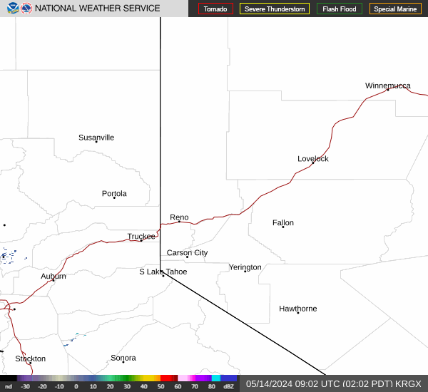 Radar
Radar Satellite
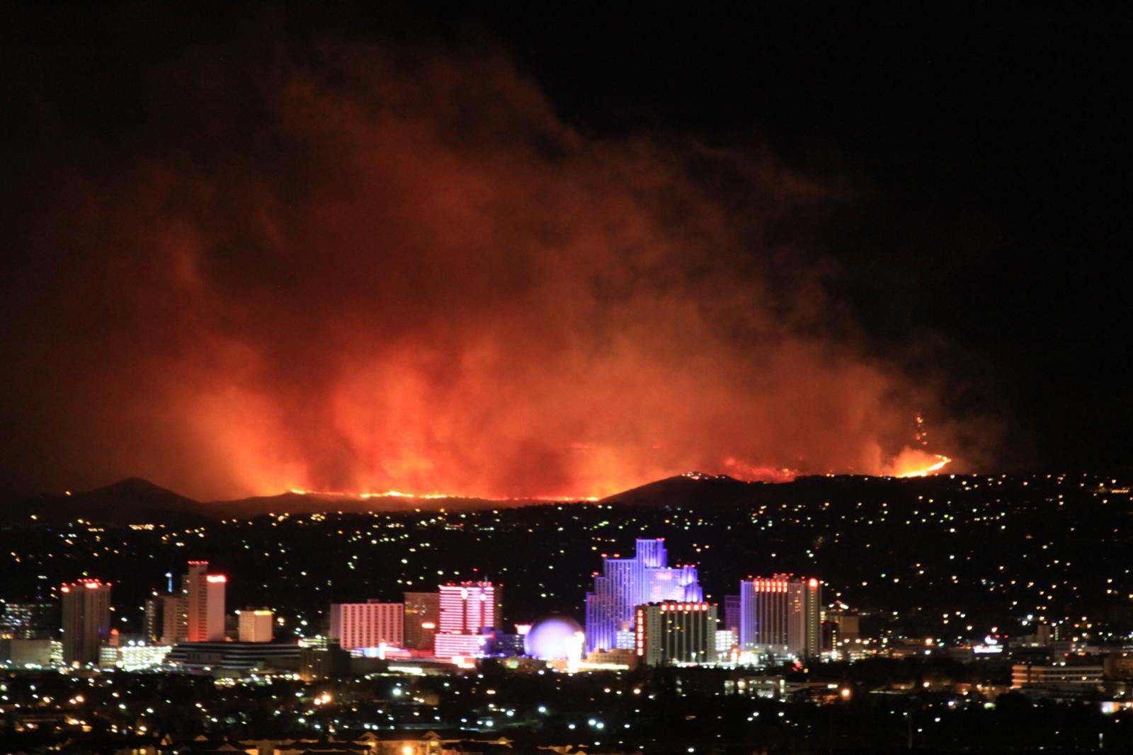 Fire Weather
 Lake Forecasts
 Snow & Avalanche
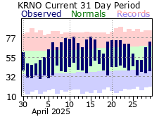 Recent Temp & Precip.
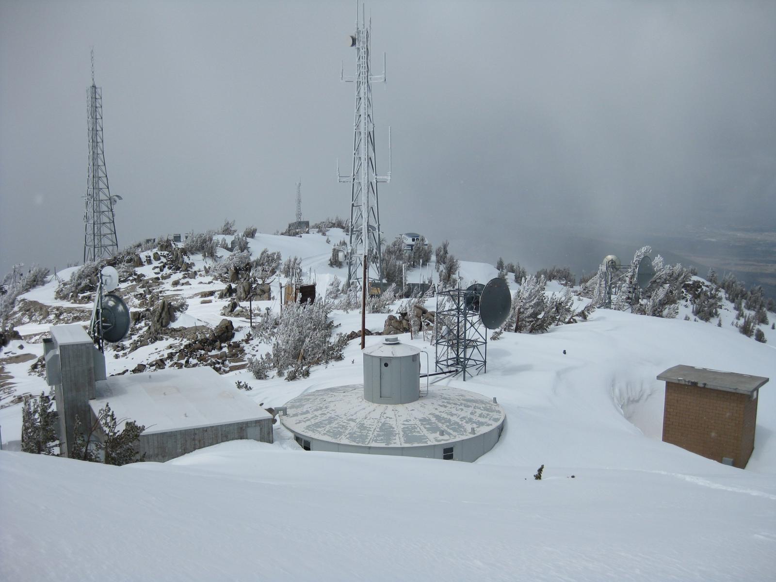 Mountain Observations & Remote Data
 Forecast Discussion
 Graphical Forecasts
 Forecast Weather Table