
A frontal system is expected to bring wintry precipitation to the Central Appalachians and portions of the Mid-Atlantic into Wednesday, meanwhile, showers and thunderstorms are expected along the Gulf Coast and Southeast. A series of Clipper systems will bring periods of snow to the Northern Plains and Great Lakes over the next several days. Read More >
Last Map Update: Wed, Feb 4, 2026 at 12:38:19 am PST

|
Text Product Selector (Selected product opens in current window)
|
|


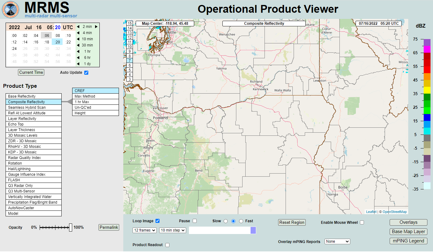 MRMS Radar Imagery
 Radar
Radar Satellite
 Graphical Forecasts
 Forecast Discussion
 Current Weather
 Climate
 Recent Weather
 Hour by Hour Forecast
 Alternate Point Forecast
 Forecast Maps
 Fire Weather
 Precipitation Amount Potential
 Rivers & Lakes
 Drought
 Air Quality