National Weather Service United States Department of Commerce

Snow Expected from the Ohio Valley into the Mid-Atlantic; Rain and Thunderstorms in the Southeast

A frontal system is expected to bring wintry precipitation to the Central Appalachians and portions of the Mid-Atlantic into Wednesday, meanwhile, showers and thunderstorms are expected along the Gulf Coast and Southeast. A series of Clipper systems will bring periods of snow to the Northern Plains and Great Lakes over the next several days. Read More >

Click a location below for detailed forecast.

Last Map Update: Wed, Feb 4, 2026 at 4:48:41 am MST
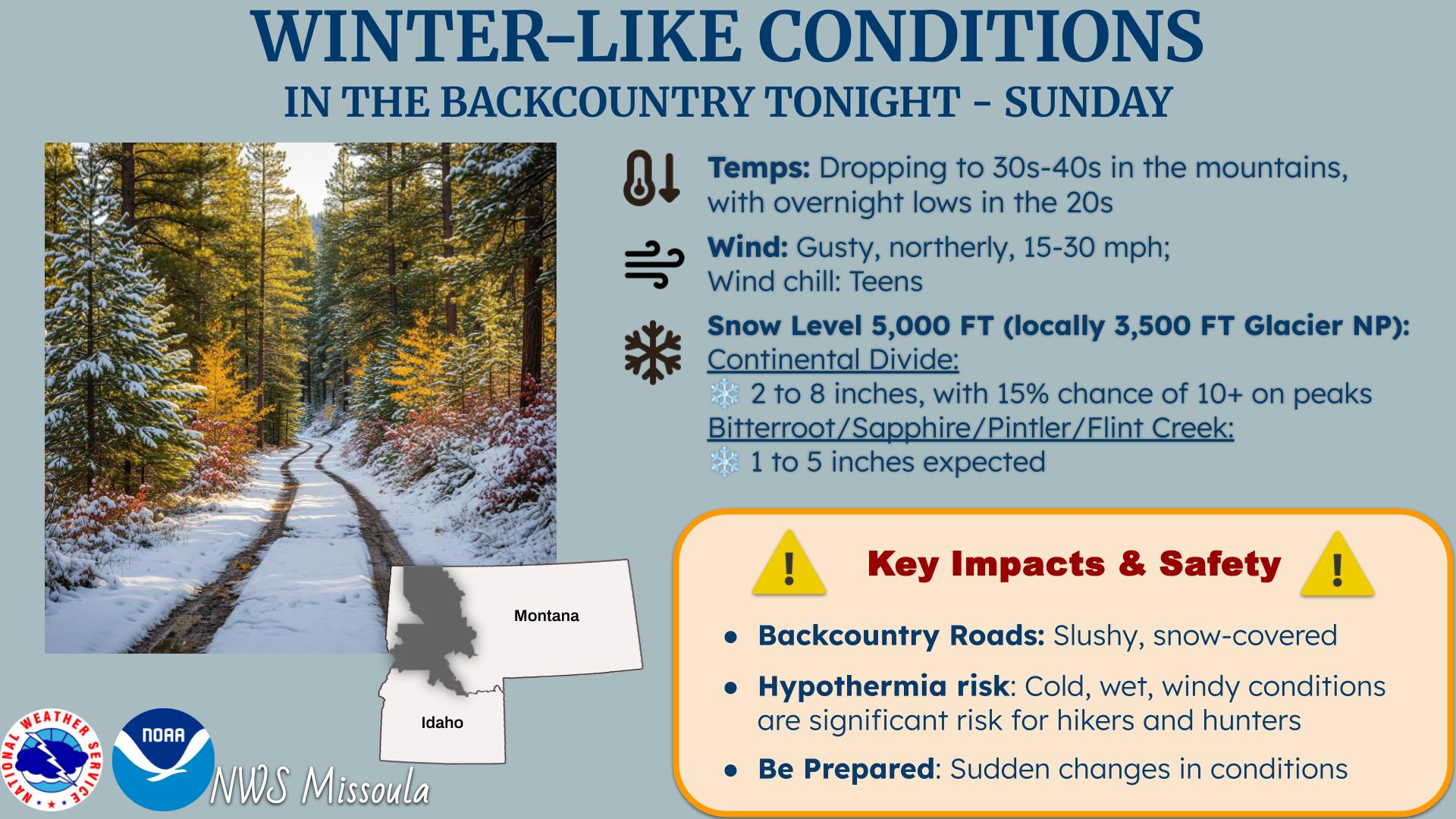
high pressure builds through at least the 8th. This stable pattern will slowly lead to valley inversions, resulting in fog, low clouds, and potential air quality issues. There is also a possibility that daytime high temperature records could be broken.
High pressure building over the Northern Rockies this week will result in warmer-than-normal daytime high temperatures. The forecast on Thursday is for temperatures to exceed or tie the historical record at three of our four official climate sites with long periods of record.


Text Product Selector (Selected product opens in current window)