Download as PDF, PPTX

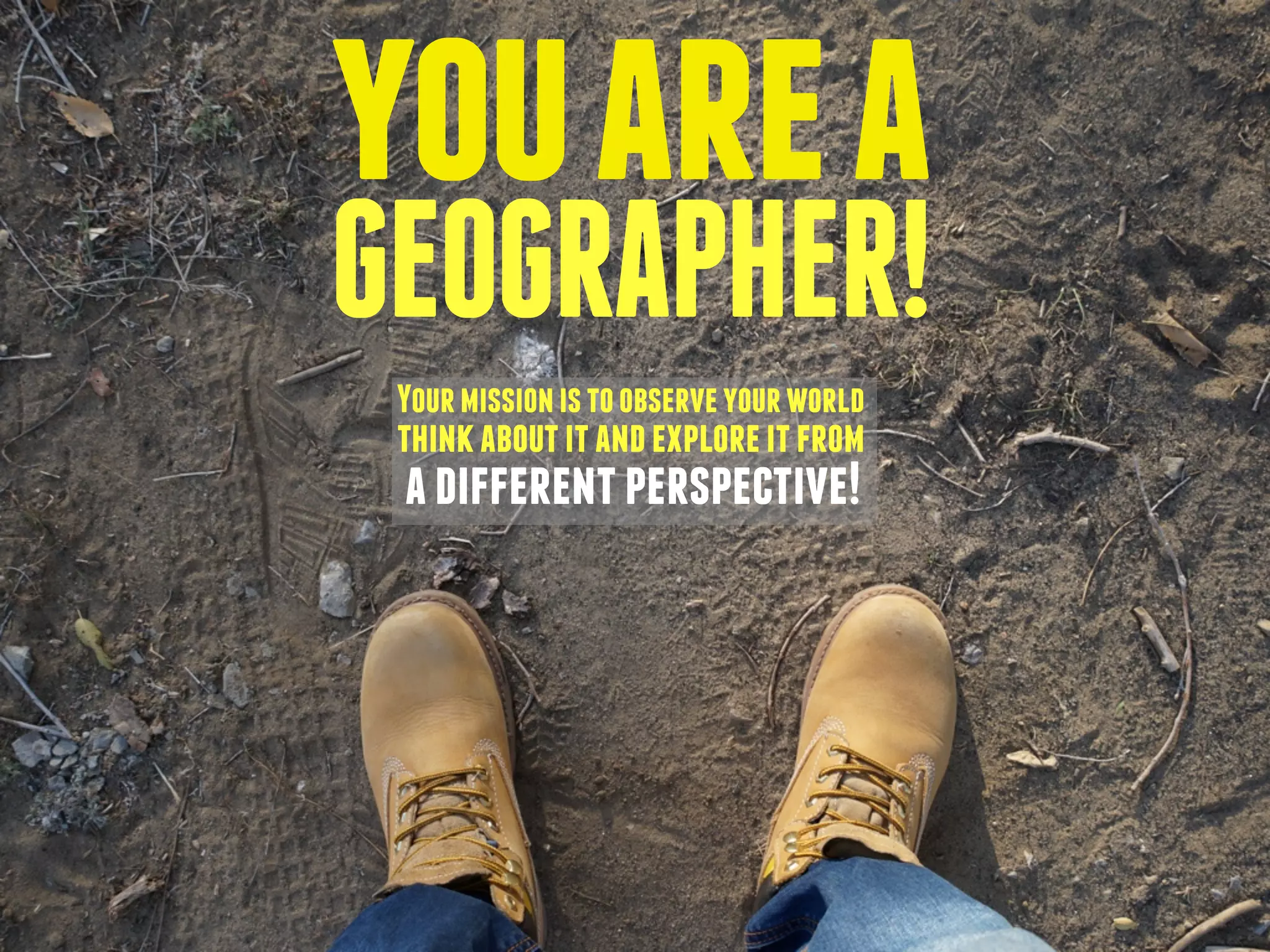
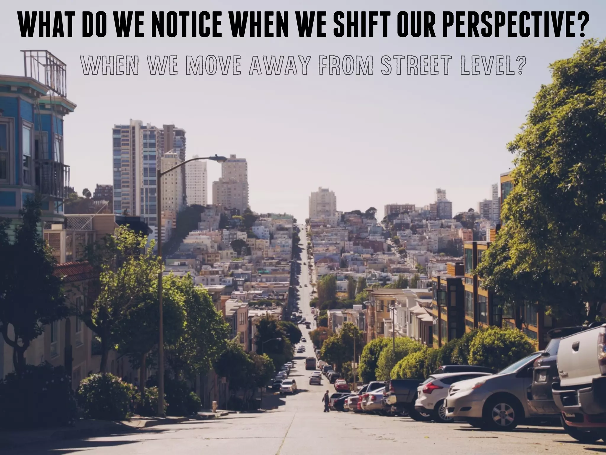

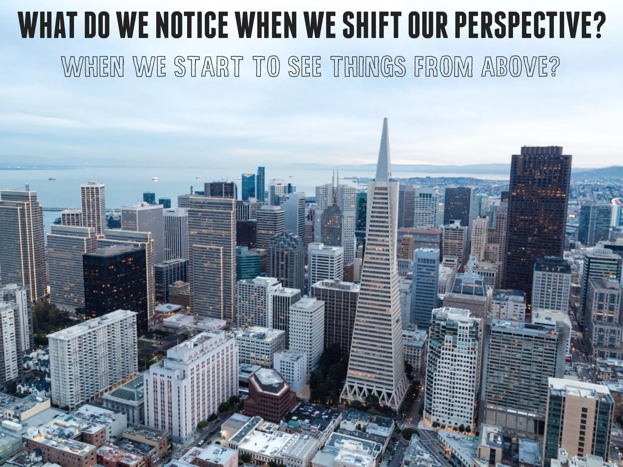


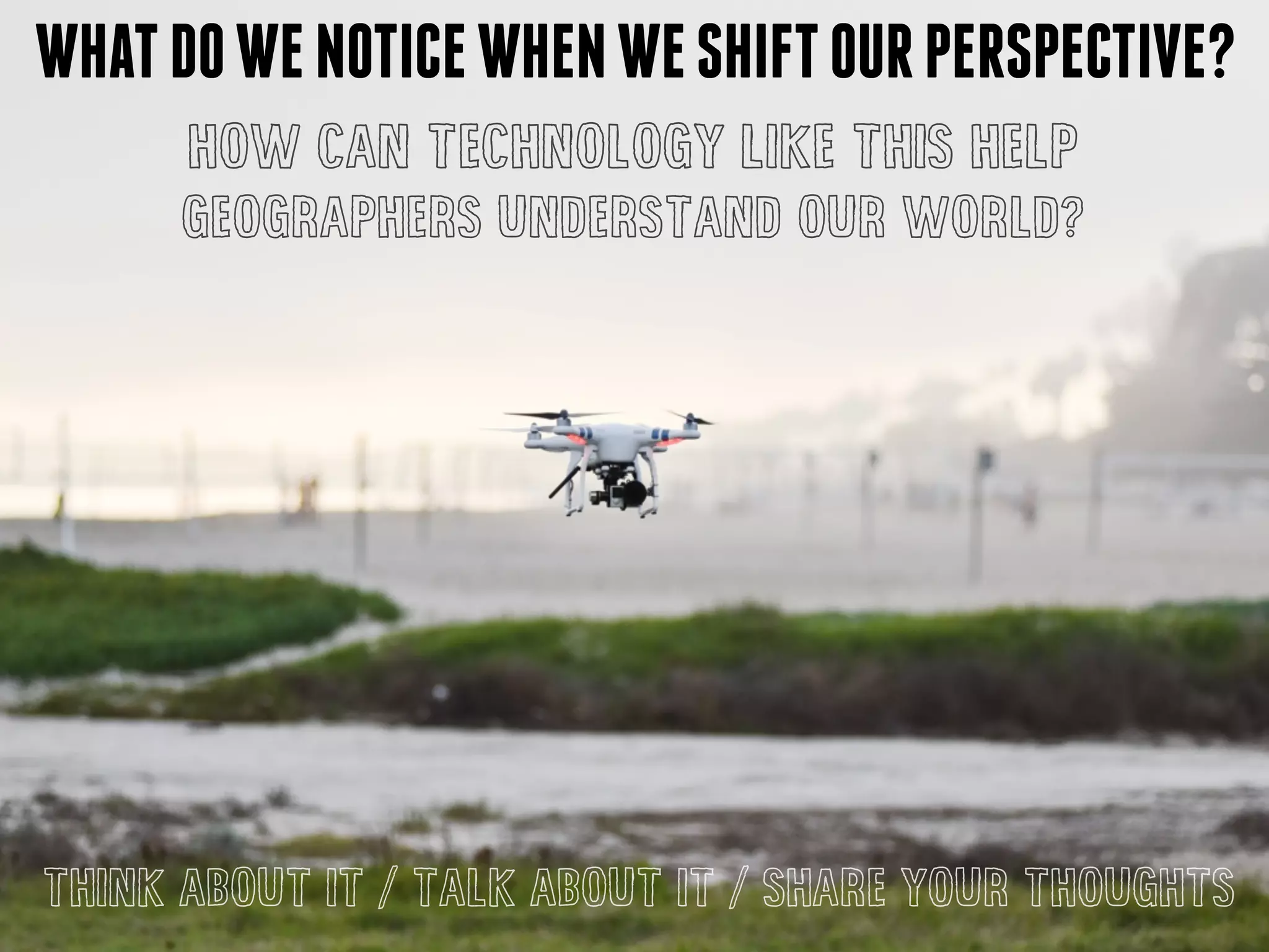

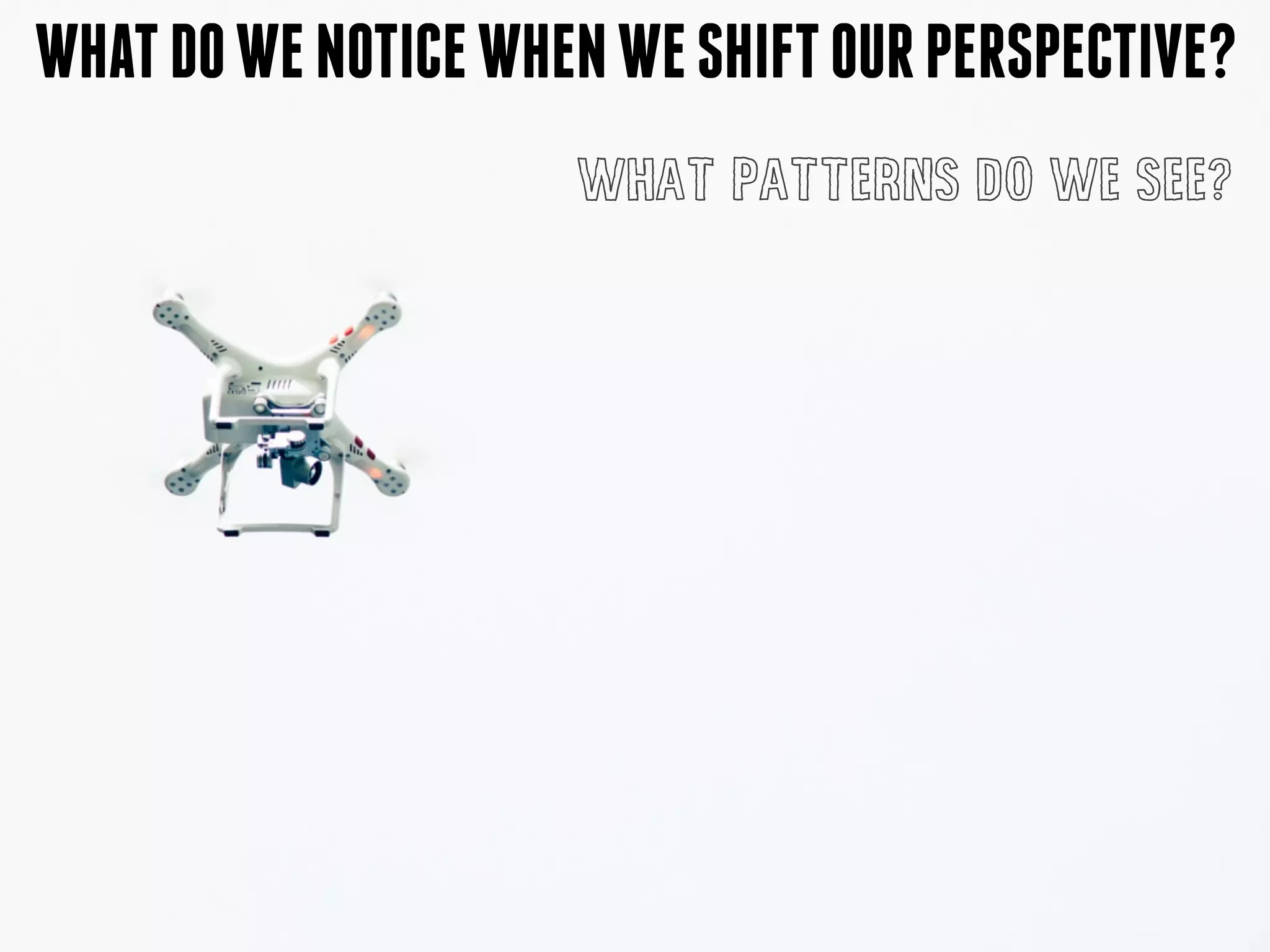


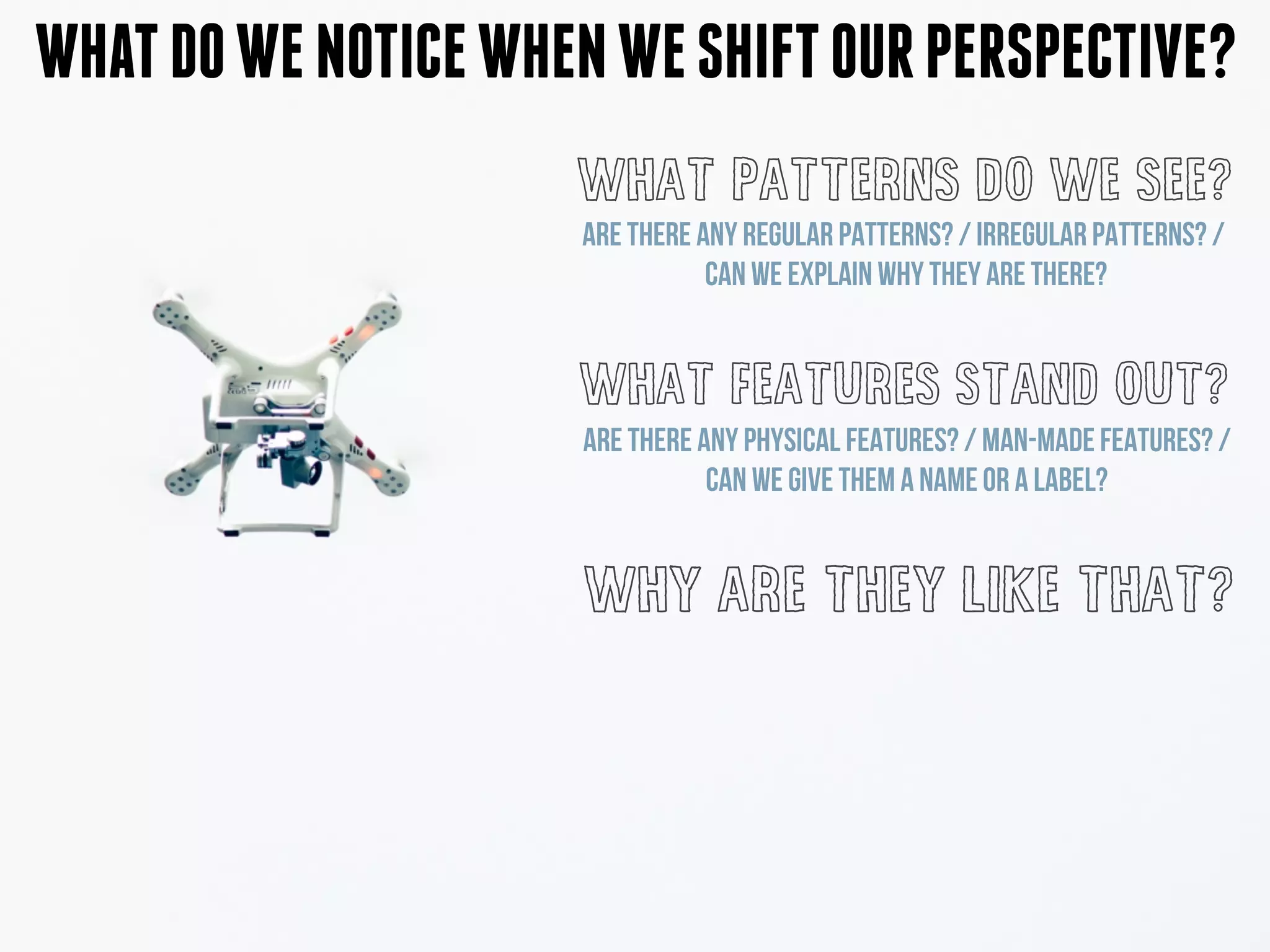


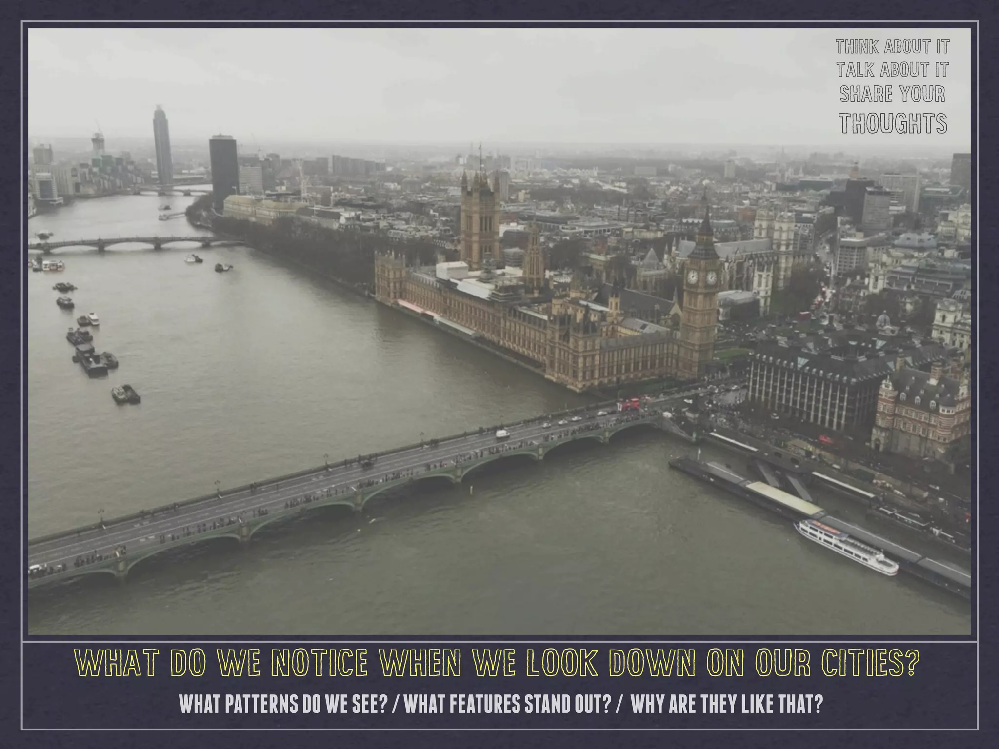
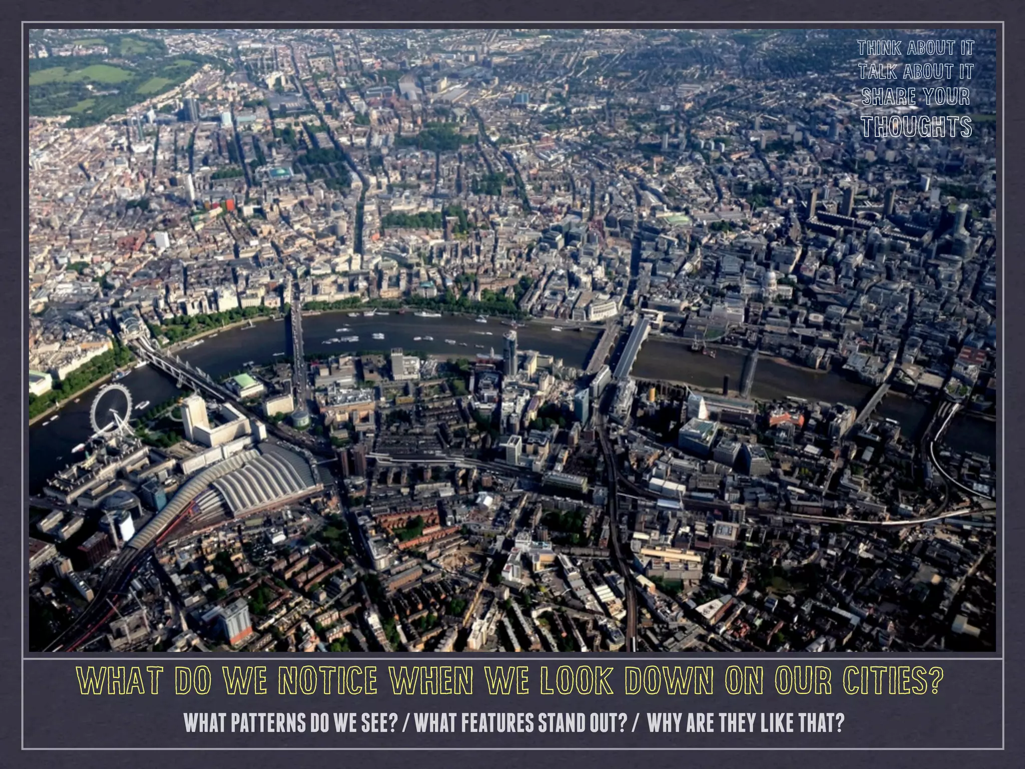
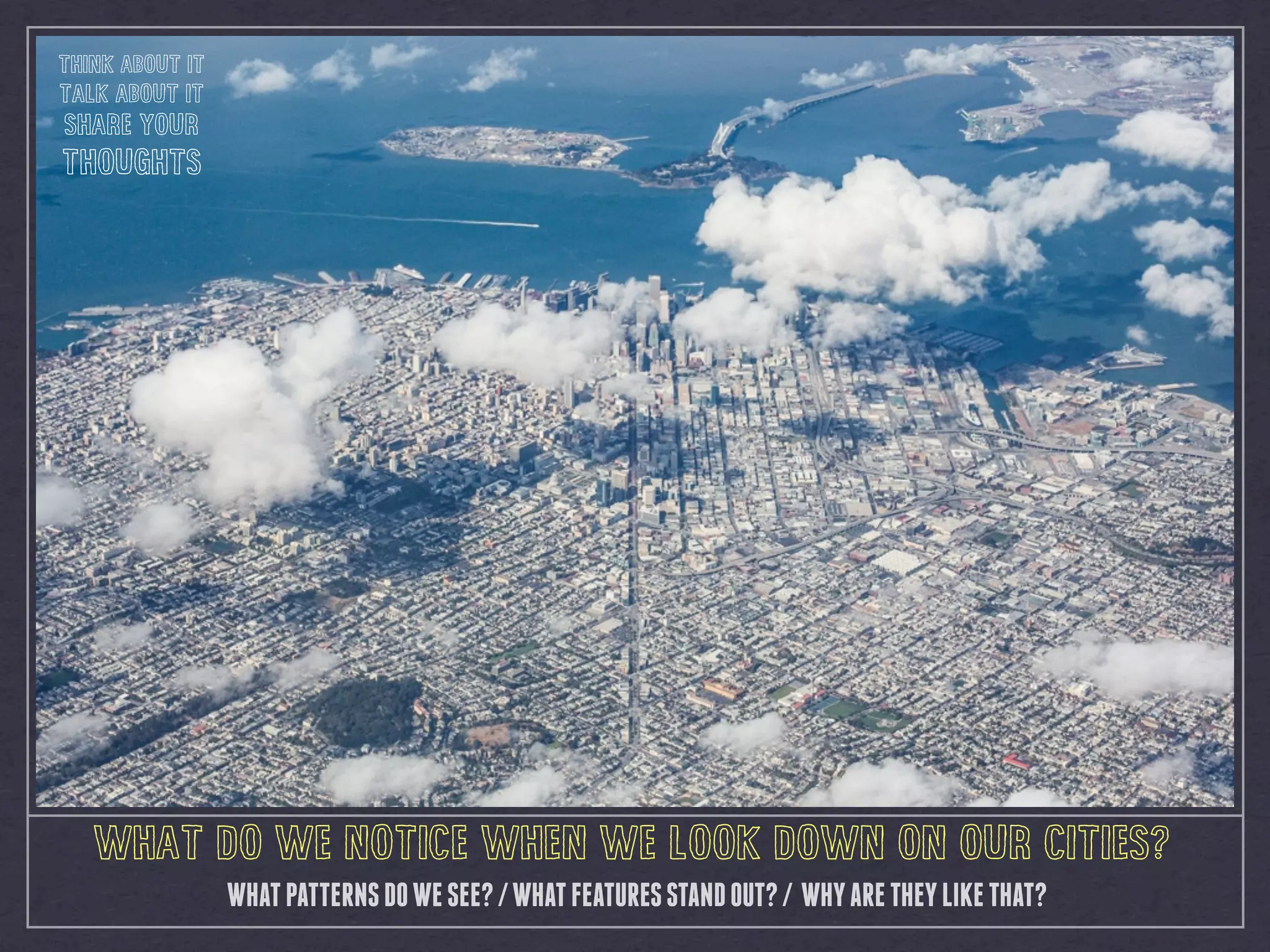

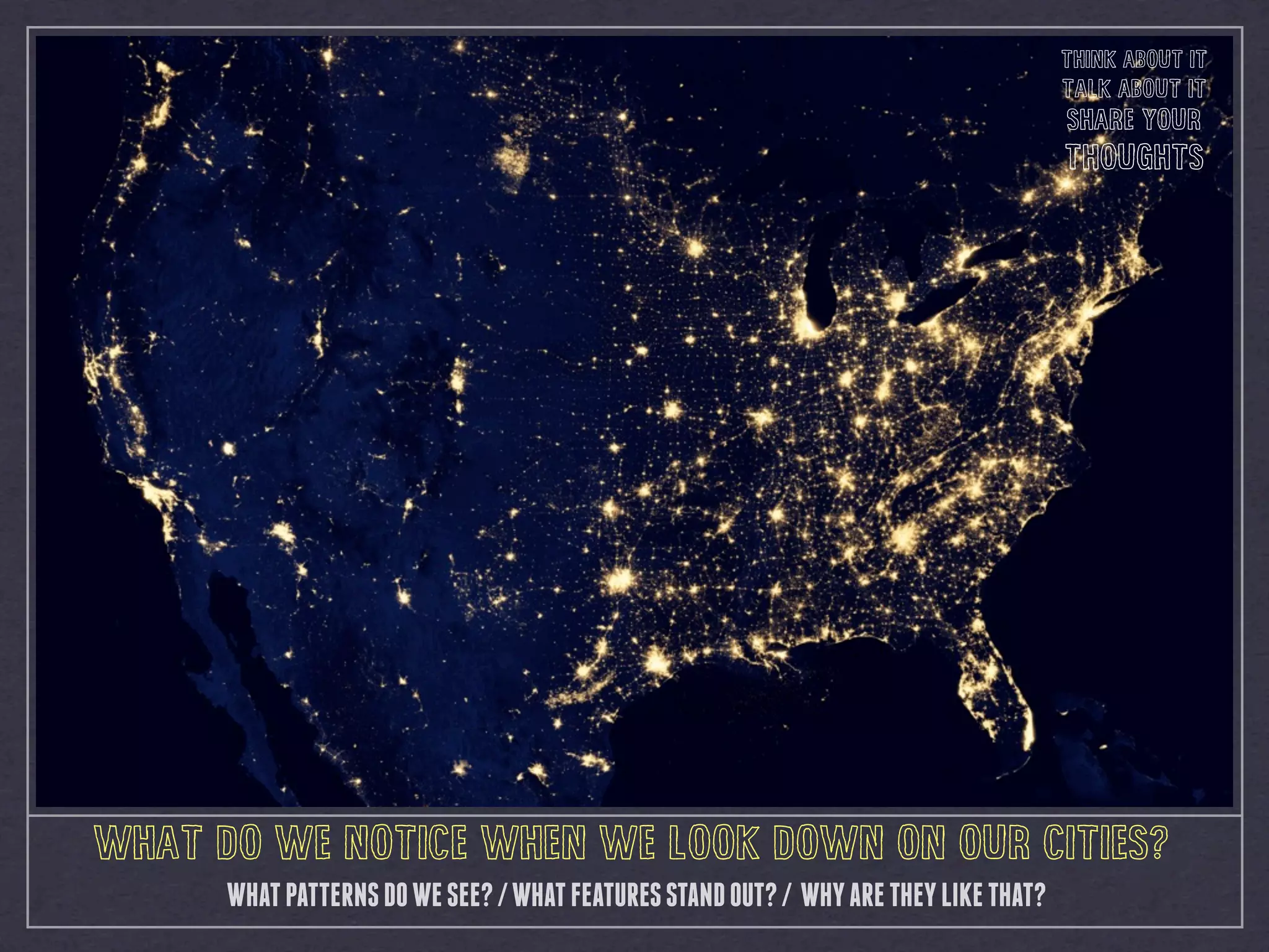


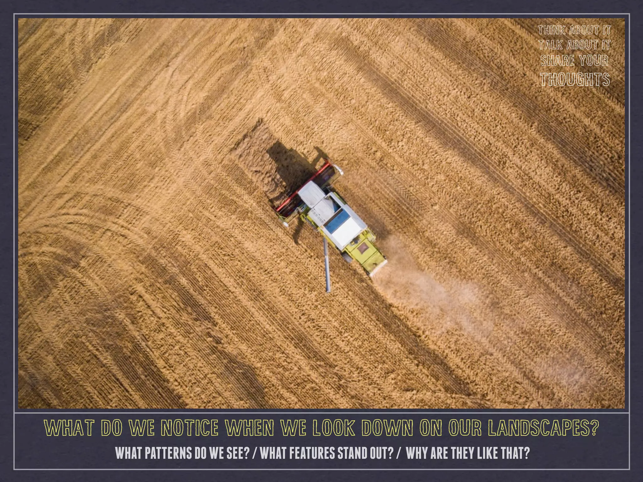


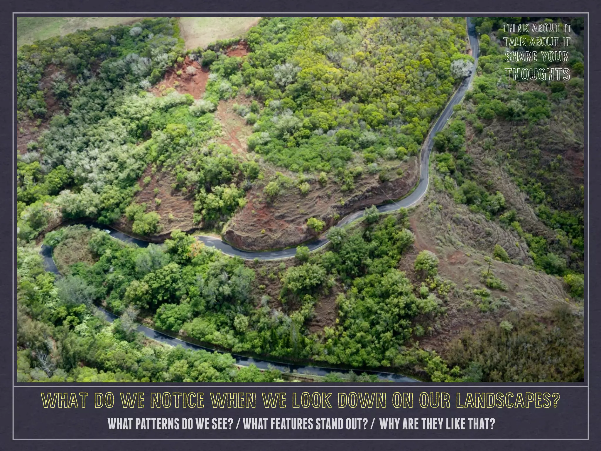

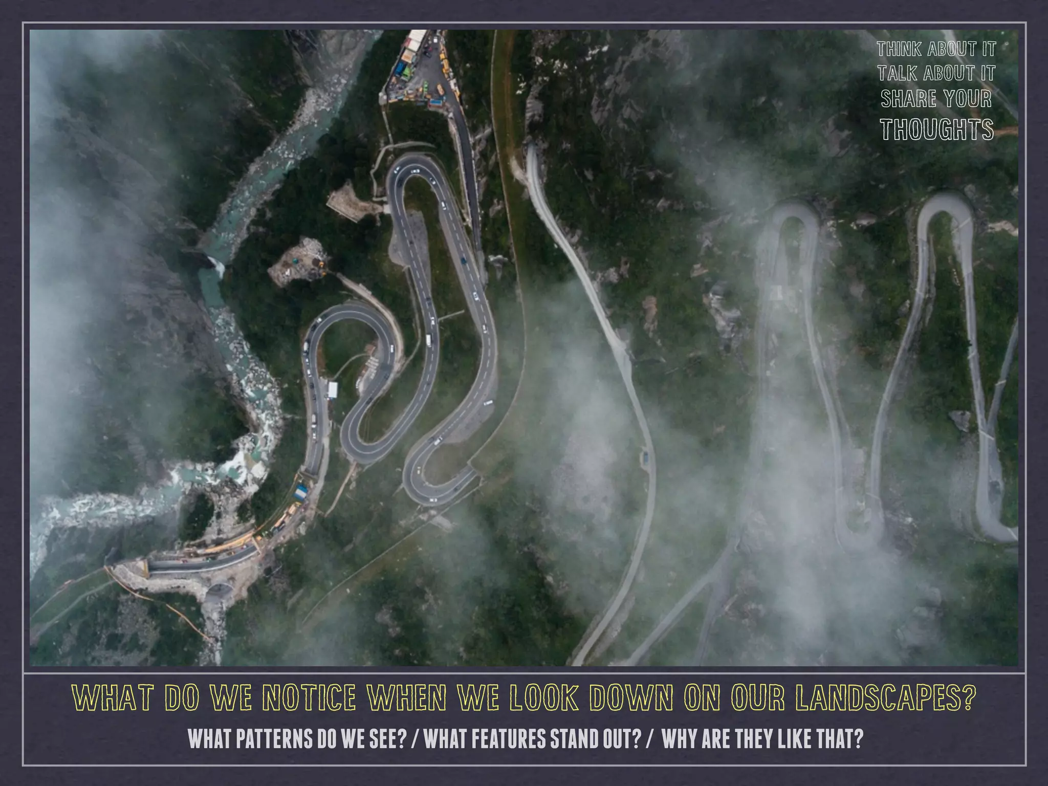

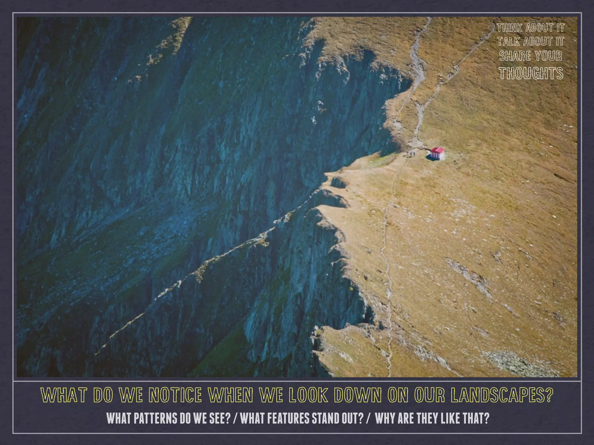

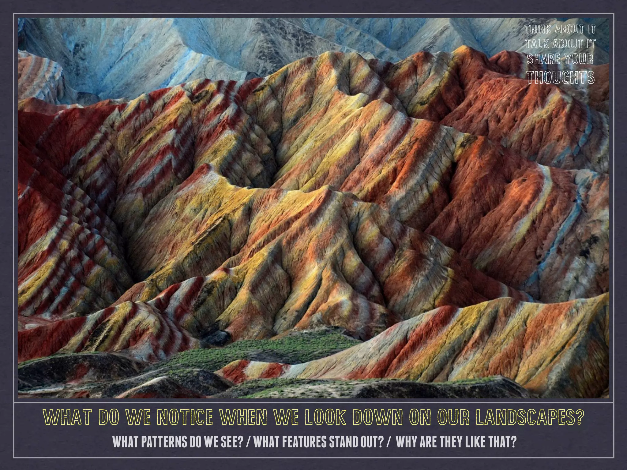
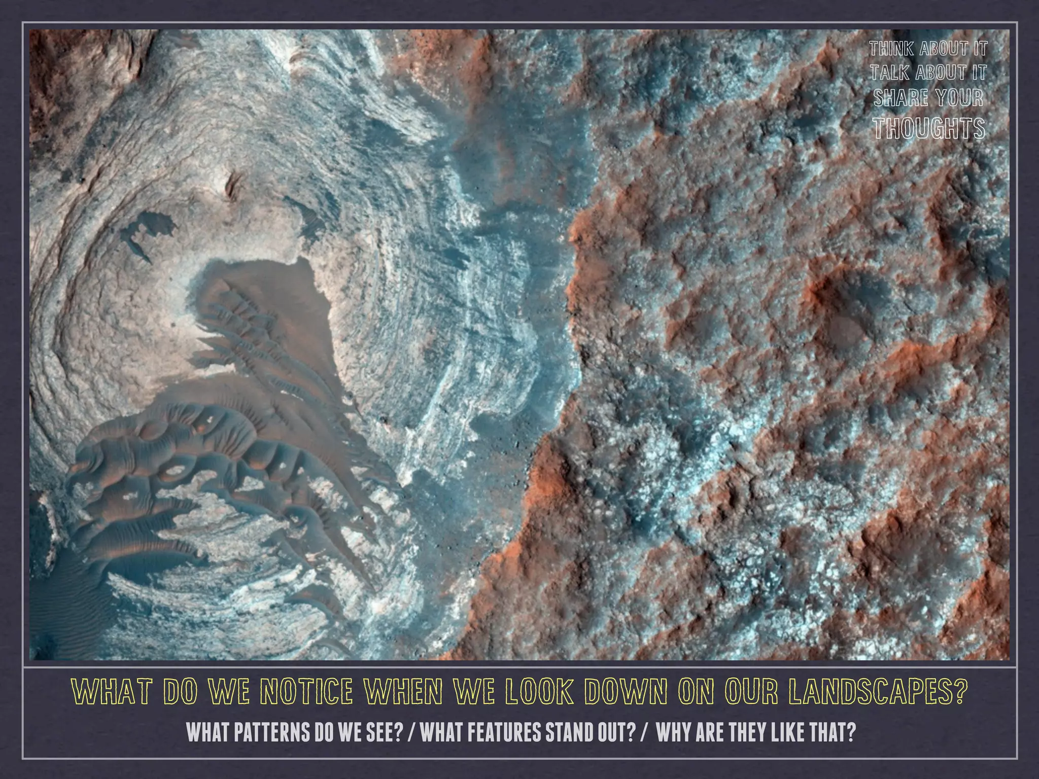


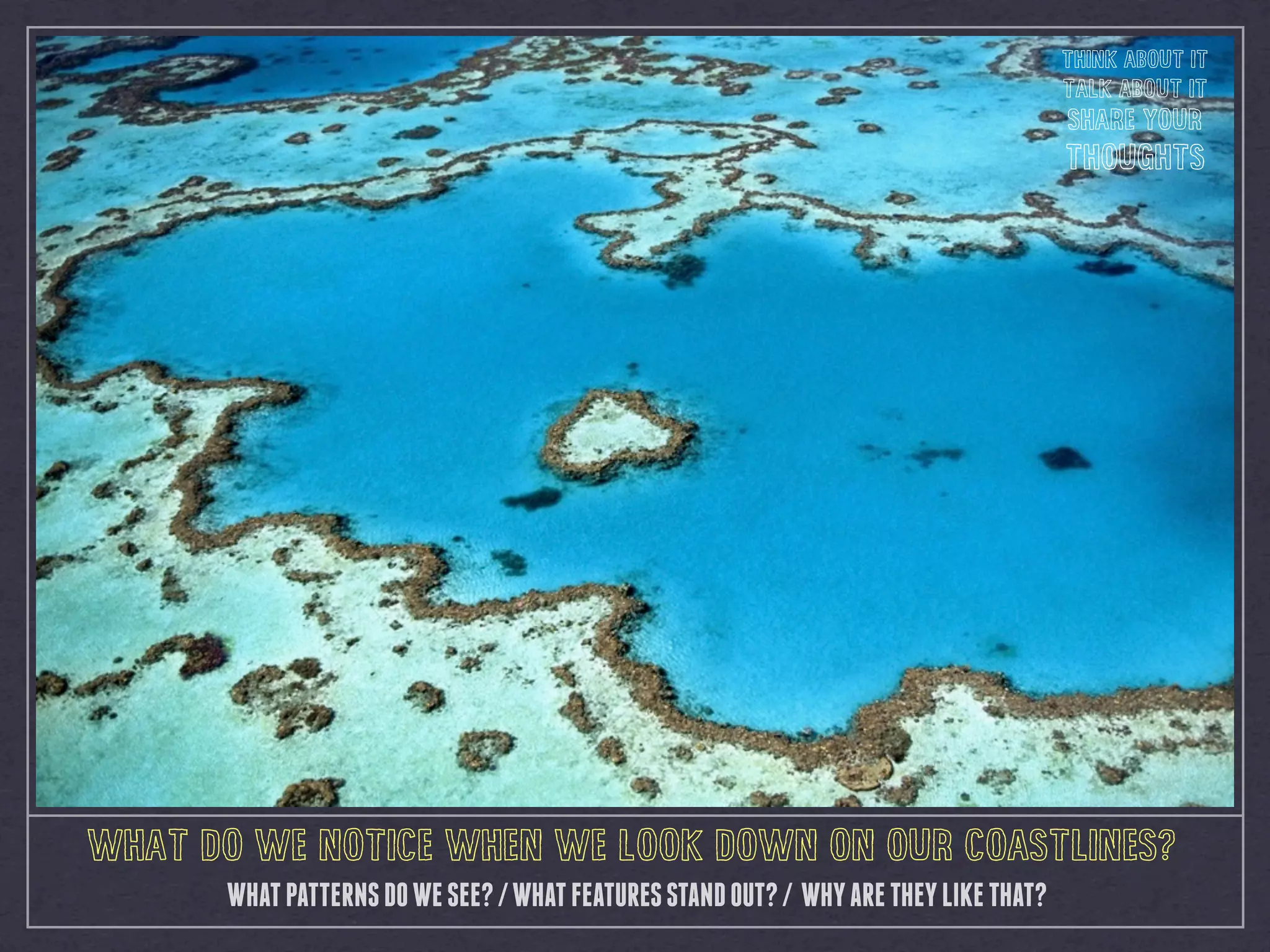
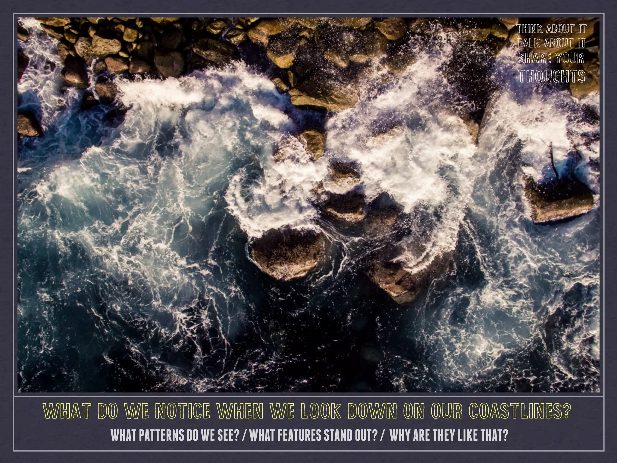

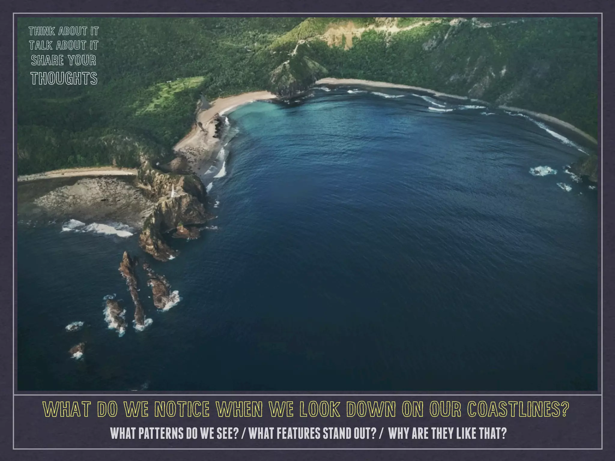
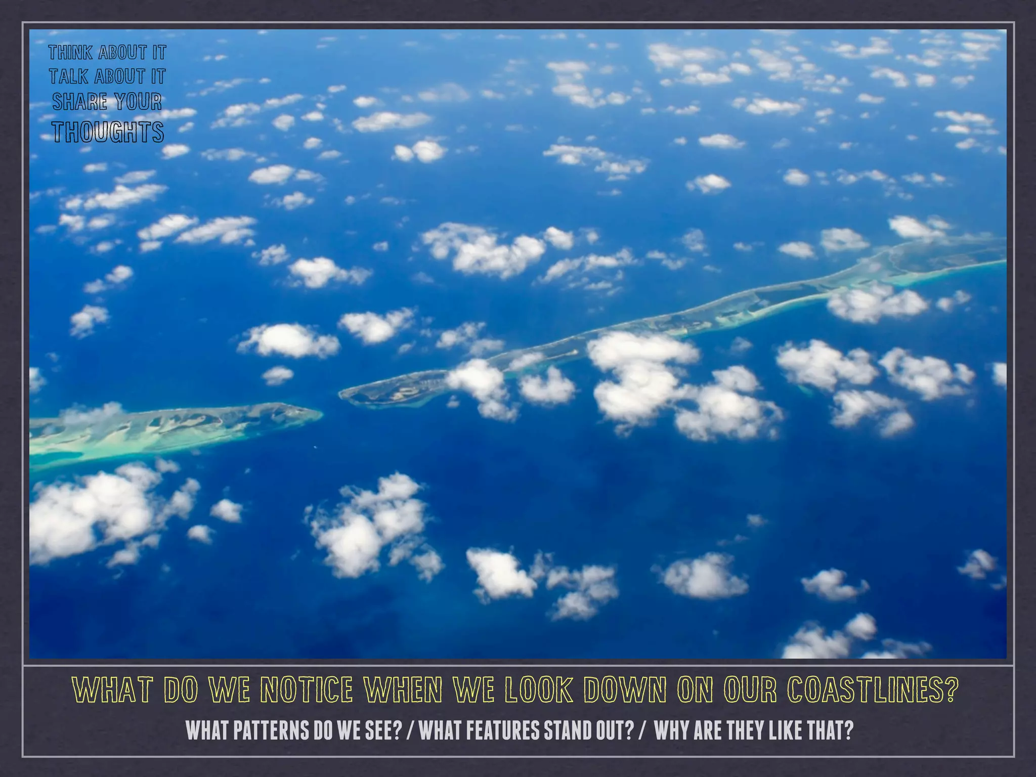


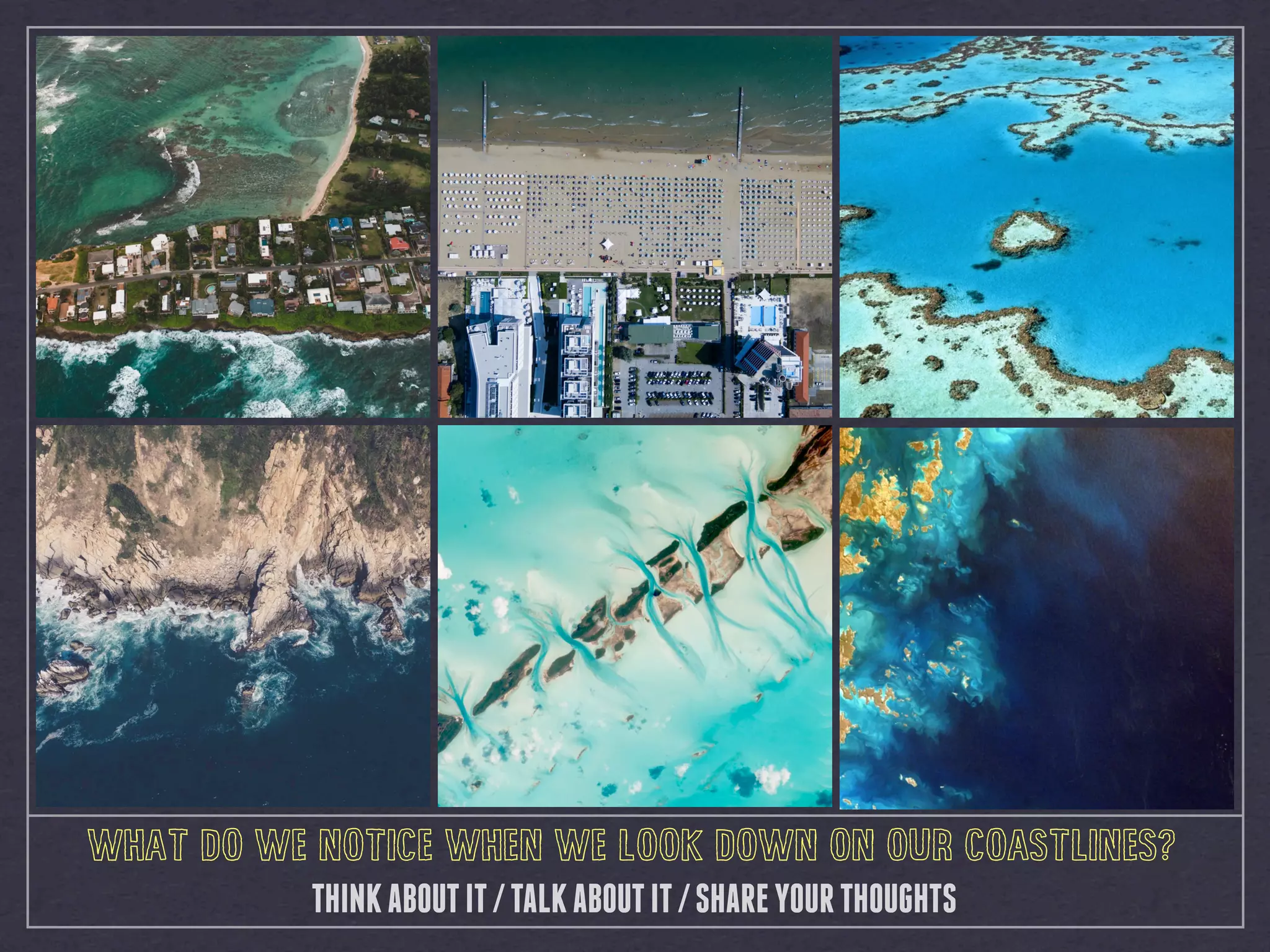

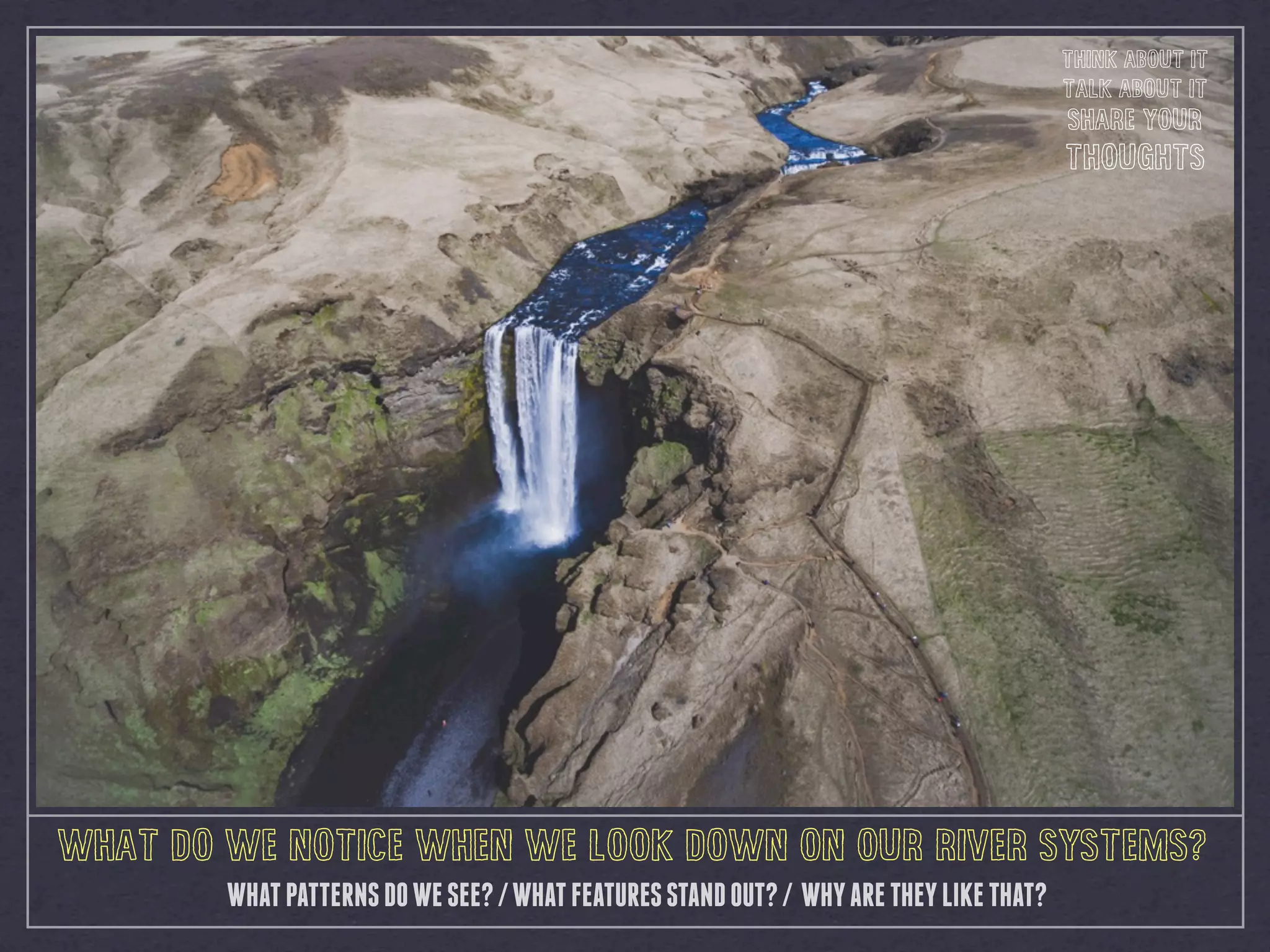
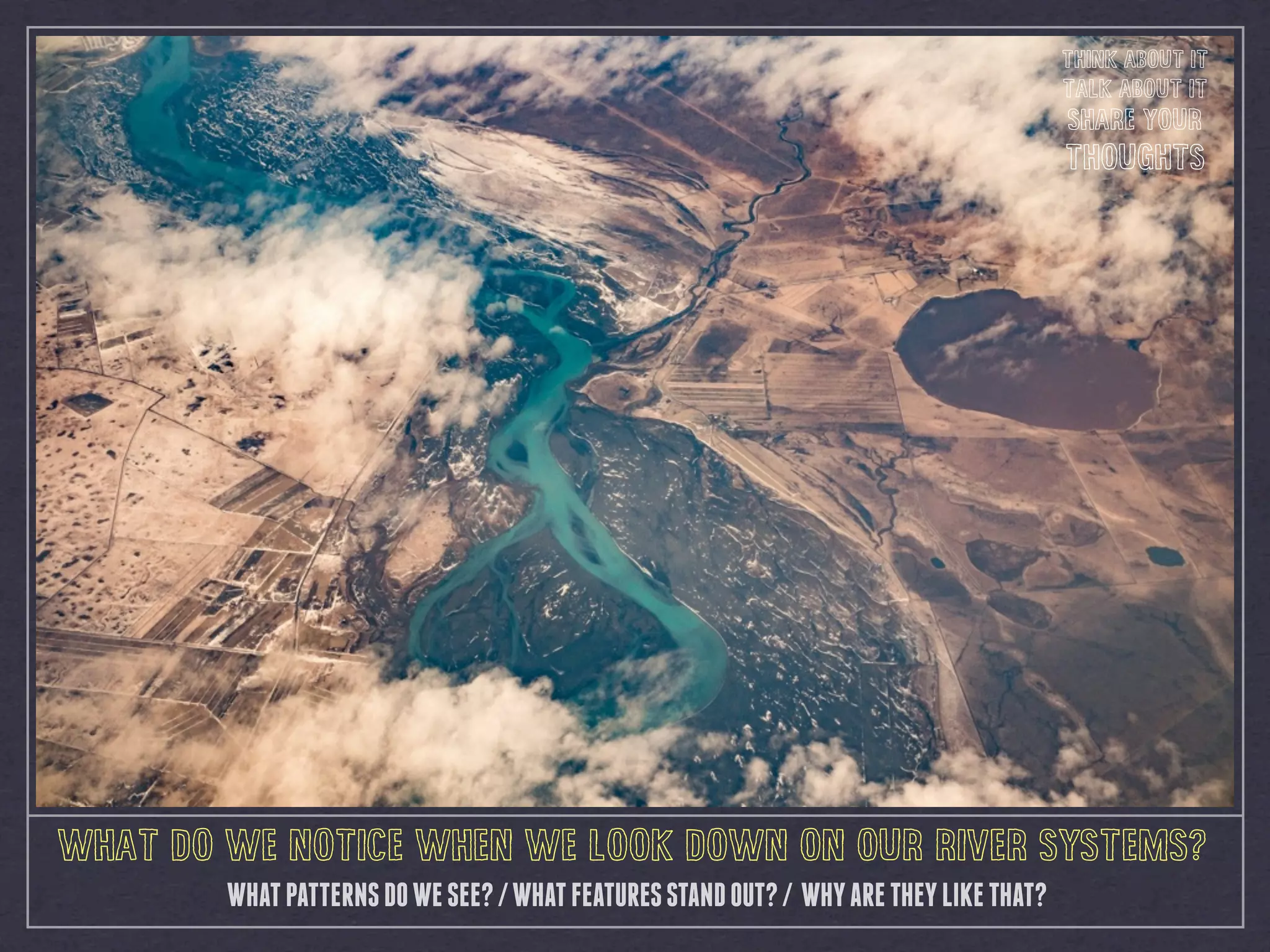
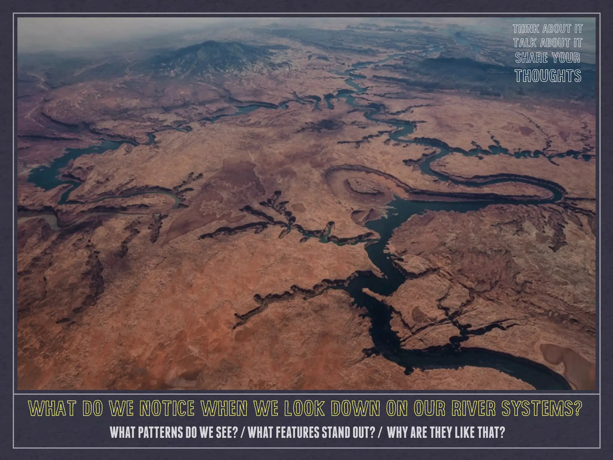


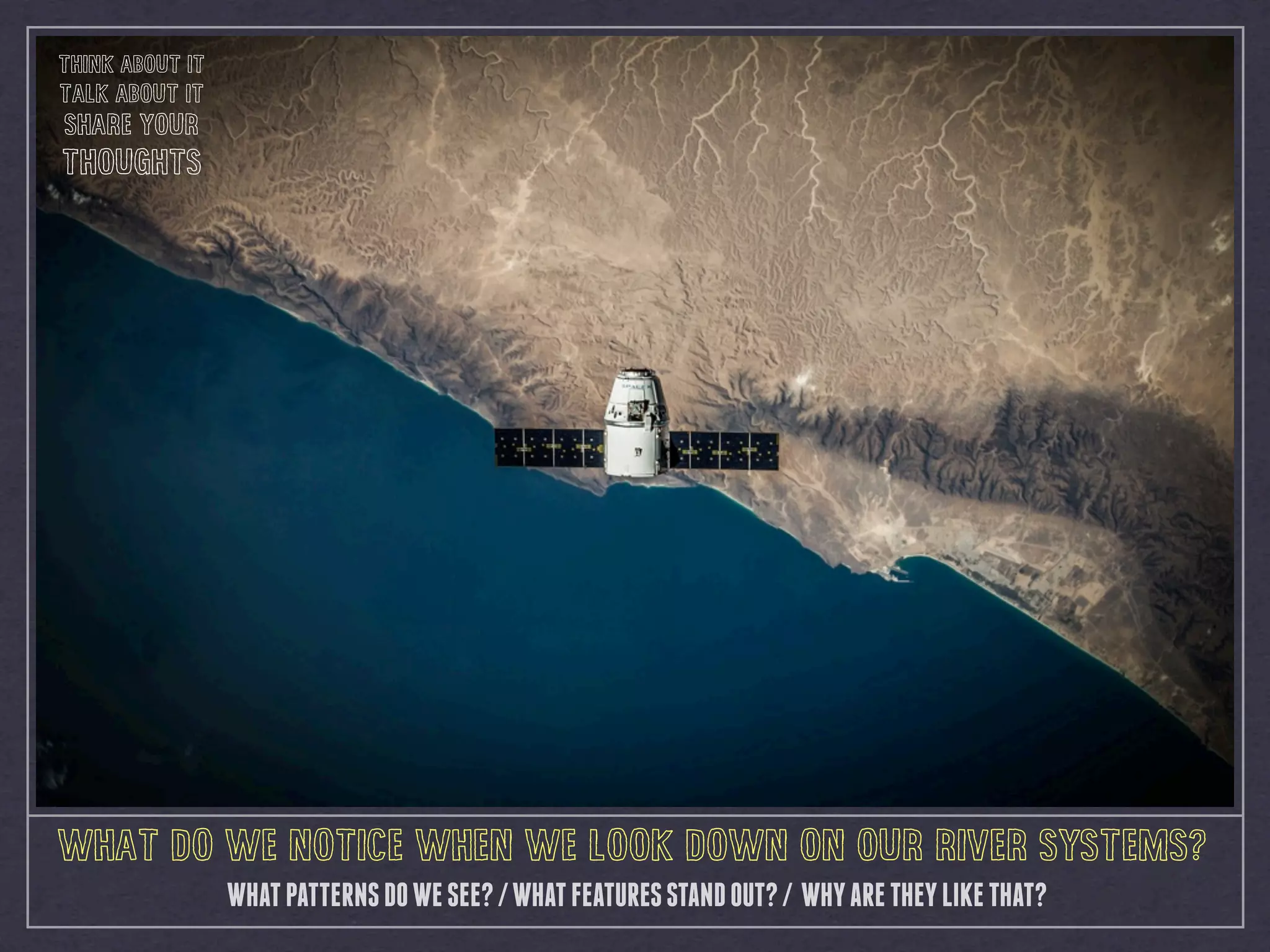


This document provides a series of prompts to encourage thinking about the world from an aerial perspective. It asks the reader to consider what patterns and features they notice when looking down on cities, landscapes, coastlines, and river systems. For each type of landscape, it prompts the reader to think about and discuss the patterns they see, outstanding features, and why things may be shaped in that way. The overall aim is to help geographers understand the world from a different vantage point using technology like aerial photography.


