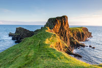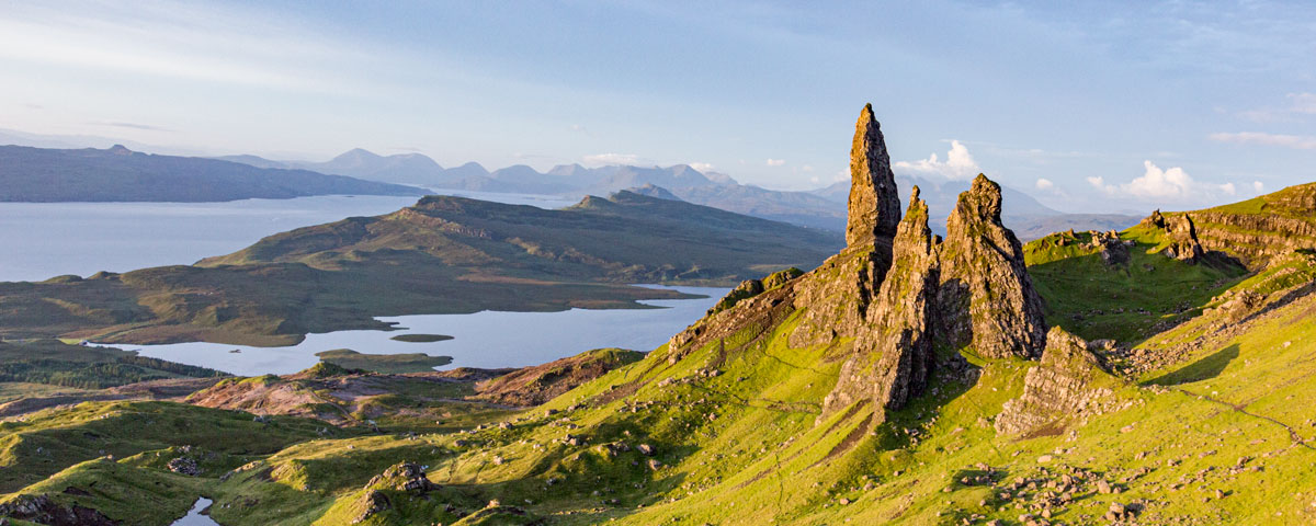
Brothers Point (or Rubha nam Bràithrean in Gaelic) is a narrow promontory of undulating grassy plateaus flanked by steep rock ridges, cliffs and stacks jutting out from the mainland into the Sound of Raasay. It is the easternmost part of the Trotternish Peninsula and an area of significant interest for the world’s palaeontologists.
This scenic site, an area of tropical lagoon 170 million years ago, is one of the most important parts of Skye’s Jurassic Coast and makes frequent international headlines for its findings of mid-Jurassic fossils and dinosaur footprints.
But there is so much more to Brothers Point than walking with dinosaurs. Traces of man throughout the millennia are clearly visible today on this small peninsula, snaking out to sea. Echoes of hunter-gatherers, iron age settlers, medieval monks, clan chieftains, salmon fishermen and 19th century crofters are there to be discovered over the 1.5 mile walk to the point.
Getting to Brothers Point, take the A855 from Portree and head north towards Staffin. The location is near the township of Culnacnoc where there is a small carpark just north of Glenview B&B. The carpark has very limited spaces so visitors are asked to park sensibly.
The first part of the trail is a fairly easy walk, leading to uneven ground, boggy areas, steep cliffs and sharp inclines which some may find challenging. The narrow trail along the promontory to the Brothers Point can be dangerous, especially during bad weather.
The hike begins on the opposite side of the road to the carpark at Kilena Cemetery where there is a wooden signpost and an information board. Those with time on their hands and an interest in history may wish to go off track and take a visit to the nearby ruins of the abandoned post-medieval townships of Culnacnoc, Lonfearn and Port Earlish before starting on, and during, the walk.
There is a good path, boggy in places, to the rocky shoreline. The trail passes a waterfall and the remains of the homestead of Ruaraidh Dhomhnaill a’ Chuirn whose family inhabited the house until the late 19th century.
The beach consists of large pebbles blanketed by kelp, which may be a bit of a slippery scramble, with areas of dark volcanic sand at low tide. There is also a stream to cross and it may prove a challenge to keep feet dry in very wet weather. Further up the shore are the ruins of an old salmon netting station. It is here where the fish were landed and processed before shipping them off to Portree where they would end up in the fish markets around the UK.
Low tide pools in the sandstone rock plain reveal over 50 mid-Jurassic dinosaur footprints. These may prove difficult to differentiate from the natural recesses in the rocks to the untrained eye but obvious when found. The round impressions are those of large herbivorous sauropods, eg brontosaurus, measuring up to 67cms: the three-toed impressions are those of carnivorous theropods like the Tyrannosaurus Rex, some of which are 52cms-long. This area is protected by a National Conservation Order that was issued in 2019, making the removal of vertebrate dinosaur fossils a criminal offence, so look but don’t touch.
The second section of the trail takes walkers past the beach and along the peninsula to the point. The path is narrow and traverses over the top of the cliffs which are very steep and can be very slippery in wet weather, so a good pair of hiking boots and a fair amount of caution are needed for this stage.
The highest part of the headland is a rocky protrusion called Dùn Hasan which is the site of an ancient settlement and later medieval fort. The barely visible crumbled walls are said to be the remains of a 6th Century monastery; hence the name Brothers Point.
Another theory surrounding the origin of the name Brothers Point can be found at the north eastern side of the point where what is believed to be the site of an old quern stone quarry (brathan being the Gaelic name for quern). Circular marks in the olivine dolerite stone are clearly visible
Once over the top of Dùn Hasan, the peninsula opens out into a flat grassy plateau where visitors can enjoy the views over the Sound and Kilt Rock; watch the waves crashing on the rocks; spot some large marine wildlife; and, if catching the early light, witness some truly spectacular sunrises.
To the south, is Sgier Dhùbh, also known as Dhùibh-Sgier, the Black Skerry. This was the site of a tragedy in 1822 where 13 men drowned in a sailing accident when their boat was dashed against the rocks.

