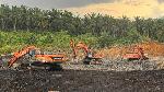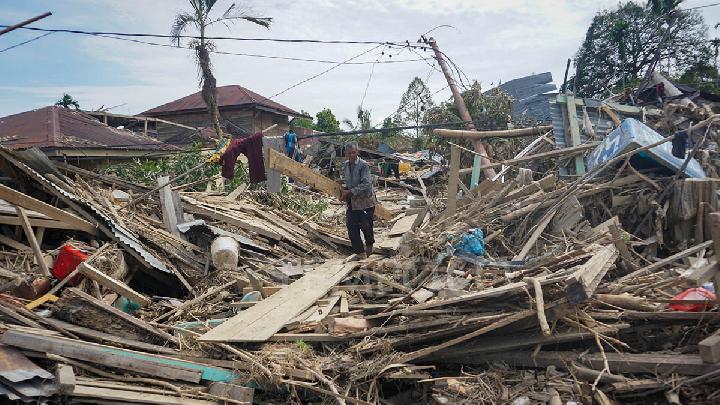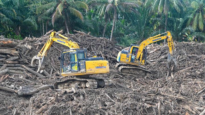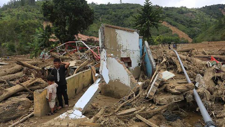
TEMPO.CO, Jakarta - Whatever people called them—rotting wood, fallen trees, or logs left from clearing sites—it made no difference to Andre Bustamar. For the Research Manager at the West Sumatra chapter of the Indonesian Forum for the Environment (Walhi), they are all tree stumps. What matters more, he said, was the alarming sight of thousands of those stumps swept away by the galodo, or flash floods, that tore through West Sumatra on Tuesday, November 25, 2025. For him, they were unmistakable signs of deforestation in the upstream sections of river basins.
Andre was not making baseless accusations. He pointed to spatial analysis based on Maxar satellite imagery conducted by West Sumatra Walhi on the Aia Dingin river basin in Lubuk Minturun village, Koto Tangah subdistrict, Padang. The satellite images, captured between June 2021 and July 2025, show clear changes in forest cover, revealing traces of systematic logging in the upper reaches of the Aia Dingin river basin.
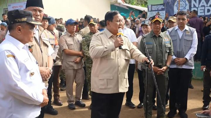
When those satellite images were layered over the official forest-area map of West Sumatra, Andre said, the results strengthened indications of logging inside protected zones. Several of the identified clearing sites were located within conservation areas and protected forests along the Bukit Barisan mountain range. “Other sites are in areas designated for non-forest use but directly border conservation zones, serving as entry points,” he said at a Walhi National event in Jakarta on Monday, December 1, 2025.
West Sumatra Walhi’s assessment found dozens of land-clearing and logging sites precisely on the upper ridge of the Aia Dingin river basin. The pattern was clear, the activity started from the upstream and moving downstream toward the coast at Air Tawar Barat, one of the places where piles of logs washed ashore after the floods. Logs of various sizes were also seen floating on Lake Singkarak.